Loading application...
The Ottoman sovereignty of Cyprus was established in 1571 after a war against the Venetians. At that time, and up until the middle of the 19th century, one of the most widely used maps of Cyprus was a map printed in about 1570 by the Venetian artist Giacomo Franco. This map had been followed by nearly all subsequent maps of Cyprus that were printed in Europe. Following the Ottoman occupation of Cyprus, the Ottoman Land Code was enacted: it was essentially a form of cadastre, where all land acquisitions, deeds and transactions were recorded by means of draft drawings and descriptions in Ottoman Turkish. Examples of such attempts are the Ottoman 1572 fiscal survey of Cyprus and the 1832/33 Ottoman Property Survey of Cyprus. Other than that, no significant advancements regarding the island's cartography have been traced so far.
In 1878, though still under Ottoman sovereignty, the island of Cyprus experienced a change in its administration: it became a British protectorate, in exchange for a tribute to the Sultan as a result of negotiations during the Congress of Berlin. The arrival of the British heralded the acceleration of several processes related to modernisation. Of particular interest are those related to modern knowledge production and to governmentality.
In order to survey the new protectorate of the British Empire, the island's first governor Sir Garnet Wolseley, upon taking office as High Commissioner of Cyprus in August 1878, requested that a rough map of Cyprus should be drafted immediately. To that effect, he met with the 28-year old Foreign Office delegate Horatio Herbert Kitchener, later 1st Earl Kitchener. Kitchener was also a surveyor and cartographer who had already undertook archaeological and surveying work in Palestine (1874-1877) and prepared detailed topographical maps. The function of this topographical record was the registration of land and property
Wolseley also asked that the drafting of this rough map should precede trigonometric surveying; however, he did not object to detailed trigonometric surveying being undertaken after the completion of the rough map. This kind of mapping requires a minimum scale of 4 miles to 1 inch, as well as demanding the services of a significant number of specialised personnel who were not readily available at that time, when mapping of various areas, most importantly of Great Britain (Ordnance Survey of Great Britain), was taking place (Shirley, 2001, p. 15).
The decision to map the island of Cyprus was taken by the foreign secretary, the Marquis of Salisbury, in early September 1878. The scale of this map for the use of the administration was set to one inch per mile (1:63,360), while the scale of the rough map required for exercising income and tax policy by the British on the island was set to 4 or 6 inches per mile (Kitchener, 1883). Thus, in late September 1878 Kitchener, together with some of the work teams and equipment, arrived in Cyprus. The instructions he had received were to develop a topographic-cartographic image based on the scientific method of triangulation, while he himself considered that the map would become the point of reference for future research, albeit that Wolseley had asked just for a rough map of appropriate scale to allow him to implement the tax and revenues policy.
Work to record the details necessary for fiscal policy started immediately. However, the project proved particularly time-consuming, both because of the difficulty of matching property deeds with recorded land, as well as the hurdle of persuading owners to declare and register their properties. For this reason, it was deemed appropriate to push ahead with surveying, marking settlement boundaries with stones and leaving the verification of property deeds for a later date. At the same time, the work of recording elevation was advancing (Kitchener, 1883).
Although the disagreement between Wolseley and Kitchener had been mitigated with the mediation of the Foreign Office, it returned in force around May 1879 when the island's administration stopped funding the mapping work. After drafting a complaint to London accusing Wolseley of being unrealistic for claiming that a map could be drawn without proper triangulation, Kitchener ceased operations on 13 May 1879 and returned to England. He was then seconded as an advisor to Anatolia, where he remained until early 1880. When Wolseley was succeeded in Cyprus by Major General Sir Robert Biddulph, he invited Kitchener to return to the mapping project with increased remuneration and greater powers. Kitchener was then also given responsibility for recording property sales and for the cadastre.
Before the mapping work was interrupted, the basic trigonometric work had been completed, but there had not been significant progress in the surveying of details (only 198 out of a total of 3,584 square miles of the island had been recorded). On his return, Kitchener immediately continued the project of mapping Cyprus. In order to expedite the work of drafting the administration map, it was decided to discontinue the costly work of recording elevations, as commissioned originally, as well as abandoning the marking of settlement boundaries, considering that this work could be done more successfully during the property title examination phase. Basically, Kitchener tried to produce both the highly accurate map and the rough one at the same time by reducing the design scale.
By June 1881 more than 70% of the total land area (2,600 square miles), together with large-scale (1:2500) city maps (Famagusta, Nicosia and Limassol), had been recorded. By the end of 1881 the outdoor work was essentially complete and what was now required was to transfer these measurements onto the map in the office. By the end of 1882 cooperation with the Stanford publishing house had already started. By February 1883, the hill shading was complete on all of the map sheets, save one (Kitchener, 1883).
Obviously, this project faced many difficulties. The mountainous areas of the island and the unexplored areas in the region of Paphos were particularly difficult sections to record. Another significant impediment was met during the triangulation process. The piles of stones that the crews set to mark trigonometric points were often destroyed by the locals, so that measurements had to be repeated and this caused great delays. Nevertheless, Kitchener carried out all necessary measuring work to complete the map by March 1883, and it was published by Stanford in 1885.
Sources:
The one inch to the mile scale map consists of 15 sheets plus the title sheet. In August 1879 Blackwood's Magazine published an article entitled 'Notes from Cyprus', in which the island is seen through the eyes of the 'occupying forces'. The information mentioned in this article was essentially what the work teams, under the guidance of Kitchener, were attempting to encapsulate in the map. The article notes the variance of landscape and climate on the island and stresses that changes in the landscape are many and extreme. A clearing scorched by the sun easily turns into a pleasant cool shade of a tropical garden with running waters and olive, orange, fig and palm trees. Dense pine forests and riverside ferns are common land cover. The morphology of the terrain is characterised by steep slopes with many water sources that form a dense hydrographic network. The northern part of the island is isolated by high mountains enclosing it. Nevertheless, the narrow strip of land between the mountains and the north coast is extremely fertile land, covered by carob and olive trees. Situated in strategic positions atop the mountains one finds the castles of St Hilarion, Buffavento and Kantara. There are streams running through alluvial or rocky terrain, while the water table is found at only 18-20 feet. The article goes on to explain that the installation of some water mills would help irrigate large areas, instead of relying solely on rainfall. The fertile plains, especially in the Paphos region, carry enough water for fruit production. The article indicates that without doubt the agricultural resources of the island are rich, and if appropriate agricultural practices were implemented the plains would be generally suitable for many crops, such as cereals and tobacco. Particular mention is made of the vineyards and their high productivity. The old wineries in the Akamas region indicate the suitability for vine cultivation, whereas, at that time, the land was being used for pasture.
In the same article reference is made to the island's shortcomings. The roads required significant improvement, and land productivity could be increased by even small-scale irrigation works. It is not accidental that allusion is also made to the minimal rainfall in 1879 (only 5 inches) and the 'disappointing cereal production'.
As far as ethnographic characteristics are concerned, the article describes the two main ethnic groups that live on the island, Greeks and Turks, but also the two major religions encountered. Also discussed is the 'administrative organisation' of the two communities run by the local Greek grandee landowners, who mainly choose to reside in the cities, and the Turkish rulers, who remain in the countryside. Finally, reference is made to the large, imprecisely recorded monastic property holdings of the Greek Orthodox Church and the substantial property owned by the mosques.
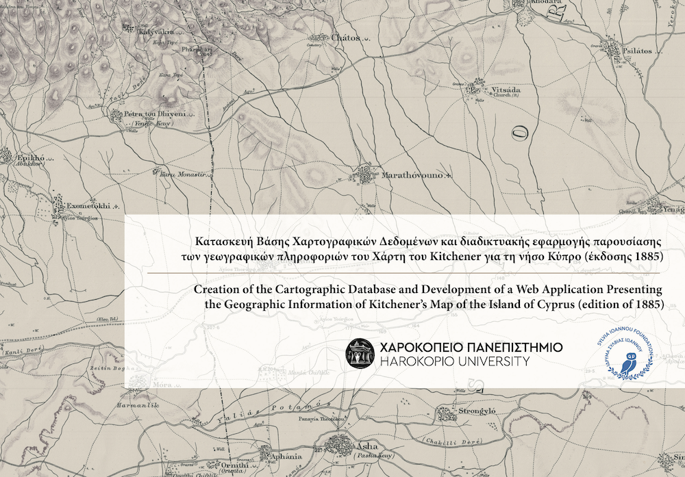
The Horatio Herbert Kitchener map was published in London in 1885, as a result of the first scientific survey of Cyprus and became a cartographic standard until the middle of the 20th century. This map contains a wealth of valuable information of geographical, historical and cultural interest for the island. Much of this information still needs careful investigation by the scientific community.
This is the 2nd version of the interactive web application for exploring the maps produced from Kitchener's survey of Cyprus. The new functionality includes (among others):
The 1st edition of the web app is available from this link.
This web application provides the ability to explore three maps from the Kitchener survey, namely:
The interactive map is the central part of the application.
When you enter the application, the map of Cyprus island has been pre-selected.
You can switch between the map of Cyprus, the city of Nicosia and the city of Limassol from the panel at the top left of the map.
You can hide or show the panel by using the arrow key in the middle of the panel.
When you select one of the available maps (Cyprus, Nicosia, or Limassol) you can initially view the current historical basemap as a single mosaic as well as a modern satellite cartographic basemap from ESRI.
All available thematic layers are displayed in the panel on the left side of the screen. Clicking on the name of a thematic layer shows available options.
You can change the opacity of the historic basemap by using the horizontal slidebar.
You can then activate the remaining thematic levels, by either clicking the switch to the right of the name or individually by clicking on the symbol to the left of each category name.
Note that if you select a different map, the layers you have enabled will be turned off.
Once you have activated one of the thematic levels, you can click on the interactive map to get information at this location. The information is displayed in a smaller pop-up window.
Navigation can be done by using the mouse or by using finger gestures if you are viewing this page with a touch-enabled device .
At the top right of the interactive map, you will find a number of navigation tools:
In the lower right part of the interactive map there is a smaller nested orientation map, which shows the current area of the main map as well as the distribution of the Kitchener imprint plates with their numbering.
At the bottom horizontal bar of the interactive map you will find:
To search for a name from the Kitchener map of Cyprus, use the "Search" option at the top left panel and type at least three characters in the search field. The search results, if any, will appear below the search field, will be highlighted on the interactive map and the map will focus on their geographical area.
Clicking on a result will automatically focus the map.
Note that search results also include names from the modern Gazetteer of Cyprus, published in 1987.
At the top right of the interactive map you can find the following tools:
From the menu at the top left of the page you can go to the sections about:
To return to the interactive map, you can click on the top left of the page, click "Return to Map" in the horizontal menu at the top of the page, or press the arrow at the bottom right of the page.
The language of the web application can be changed from the top right of the page.


This is the mobile version of the web application, available for Android and iOS devices. The mobile app uses the same spatial database of Kitchener's Maps as this web application. Both versions are bilingual (Greek and English) and offer the following features:
In 2016, the Geography Department of Harokopio University began the research involving Kitchener's topographic survey of Cyprus, funded by the Sylvia Ioannou Charitable Foundation. The project fulfilled a dual objective: to record and organise all the details of Kitchener's historic map; and to promote the free dissemination and utilisation of this information through the web application developed specifically for this purpose. The original map belongs to the Collection of the Sylvia Ioannou Charitable Foundation (M.0254). You can find more details in the published booklet:

Professor
Harokopio University of Athens, Department of Geography, e-mail: chalkias@hua.gr

Harokopio University of Athens, Department of Geography

Harokopio University of Athens, Department of Geography

Harokopio University of Athens, Department of Geography

Harokopio University of Athens, Department of Geography

Harokopio University of Athens, Department of Geography

Harokopio University of Athens, Department of Geography
We would like to express our special thanks to the Department of Lands and Surveys (Republic of Cyprus - Ministry of Interior) and to the Bank of Cyprus Cultural Foundation for the provision of Nicosia and Limassol city plans respectively.